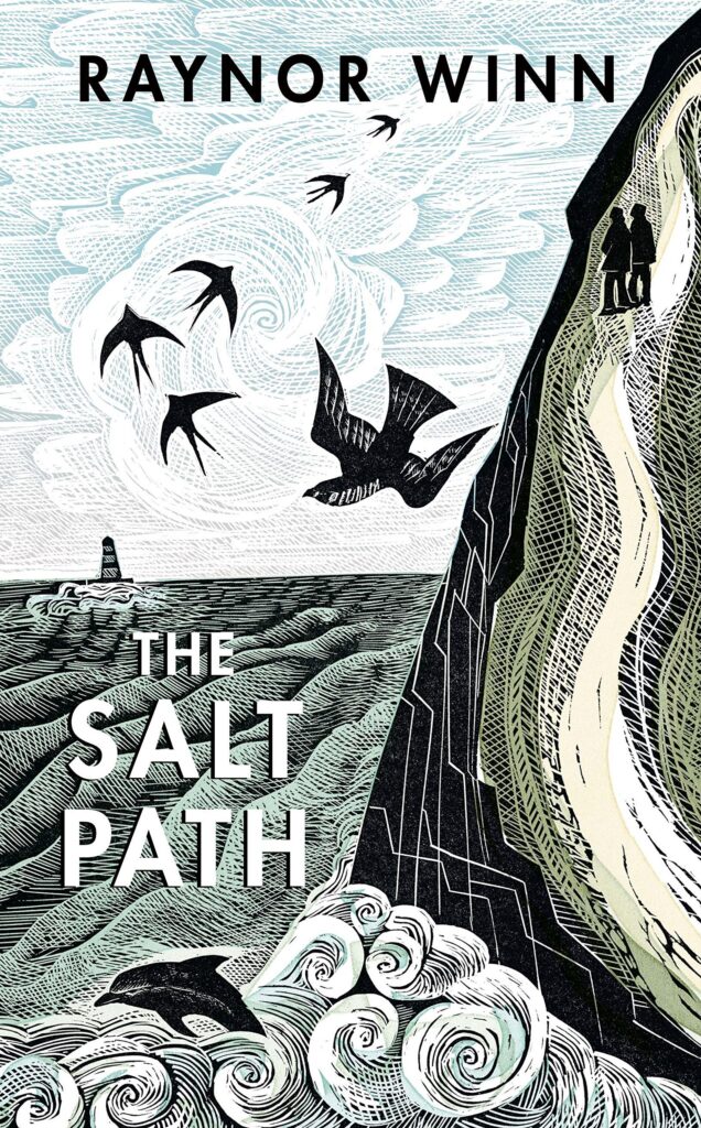
The Salt Path by Raynor Winn inspired us to walk the SWCP.
B&Bs
This is the easiest option as it eliminates the need for a tent, sleeping bag, and cooking equipment. All we need are clothes, wet weather gear and snacks. The downside is we need to find B&Bs at the right location that are open to having someone stay for a single night. During the summer holidays it becomes much harder to get a room for a night as the owners prefer guests who will stay for a whole week.
 B&B Equipment list
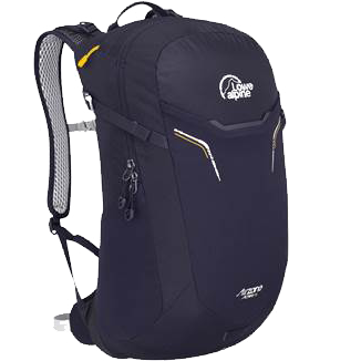
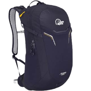
- Lowe Alpine Airzone Active 18 backpack. Plenty of space for day hiking and the frame keeps it off my back allowing good airflow. Includes an outside zip pocket for quick access to things like USB battery and sunglasses, and an inside zip pocket for keys and wallet.
- Quick-dry convertible trousers. They are light weight have plenty of pockets. I’ve never used them as shorts when hiking the path because there tends to be a lot of stinging nettles, but it’s nice to have the option. They dry quickly so I only need 1 pair which can be washed over night (if I do take a second pair they roll up very small).
- Quick-dry long sleeve t-shirt. This can be washed in the evening and be dry the next morning. I carry a space in the pack. I prefer long sleeves as it helps keep the sun off.
- Fleece. I have a light fleece and heavier one with a hood. I'll pack one of them depending on the weather for the trip. When not in use I roll it up and carry it on the back of my pack where it protects my neck from the sun.
- Running tights. These make a great extra layer if it’s cold and can also be worn on their own if the trousers are damaged.
- Lightweight waterproof jacket. This packs up very small and keeps the rain and wind off. If we are hiking in colder weather I have a heavier jacket I can take.
- Cheap waterproof trousers. This pack up small enough and I find waterproof trousers can be damaged by thorns, barbed wire and other hazards so try to avoid spending a lot of money.
- Waterproof socks are amazing at keeping my feet dry even when my boots aren’t up to the job, I carry a spare pair.
- Quick-dry underpants, can be washed and dried over night, I carry a spare pair.
- Baseball cap and beanie (I find the beanie gets the most use as the baseball cap catches the wind and flies off).
- Sunglasses.
- Kindle. Mostly for the train ride. I find I'm too tired to want to read in the evenings.
- Phone with ear buds. Podcasts are my main form of entertainment in the evenings and during travel. The phone is also used for photos and navigation.
- USB battery, wall charger, cables. Used to keep the Phone charged. For a 3 day trip I've found the battery to be good enough but I take the wall charger anyway just in case.
- Snacks. Hula hoops, Haribo, Tunnocks Caramel Wafers.
- 1l water bottle.
